
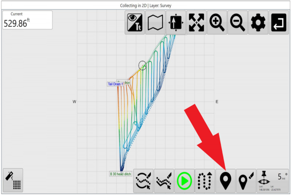
Markers on the map while you are surveying or implementing with T3RRA software can be utilized for many reasons. Markers on designs allow for setting points of interest at user-selected locations. These areas of interest could include drain outlets, water sources, rocks, or to set benchmark height/control points.
We consider it best practice to drop a marker for reference prior to beginning any survey. Do this at a location you know you can return to reliably. This will assist you in shifting the survey points in the future should it become necessary to do so.
You can also zero your implement against a Marker. This method is best used when you have a digital marker that you know has the correct position and height associated with it. Potentially this marker may have been created in another software package (like T3RRA Design) or may have been placed by you (In cab). You also must be at the exact location in (or out of) the field that the digital marker represents. Ideally this will be marked by a permanent object. This method has the benefit of being able to optionally zero the control map in the horizontal direction as well.
One point to note here relates to dropping markers while surveying with a scraper. Normally you will survey with the scraper at full elevation. This means that markers dropped will be at the same height as the rest of the survey. This is good. You may be tempted to lower the cutting blade to the ground when placing a marker on the map while surveying. Do NOT do this. Do not alter the scraper elevation when surveying just to drop a marker. If you come back to the same location as the marker when zeroing DO place the blade on the ground prior to setting the zero. The difference in the scraper blade height when surveying (verses implementing) will be accounted for.
Markers are always placed at the current location. When a new marker is created, a window will appear allowing a name for the marker to be entered. If the marker is no longer needed, you can select it on the map and delete it.