
COMMAND shatters boundaries, seamlessly integrating most RTK GNSS receiver* and tractor brands. Harnessing existing or external hydraulics, it unleashes unmatched flexibility and future-proof productivity across your fleet.
“Maximize investments, stay ahead of the curve.”

*Compatible sensor input types:
-
- John Deere StarfireTM
- Single NMEA 0183 GPS input
- Multiple NMEA 2000 GPS inputs
- CAN Inertial Measurement Unit (IMU) inputs
When utilizing COMMAND users have the ability to control “cross slope” or “blade slope” with a single receiver on the Implement by using the integrated IMU (if available) or a stand alone IMU.
Compatible hydraulic control types:
- J1939 CAN remotes
- Trimble VM
- Dual 5V Direct Connect (Analogue)
- John Deere CAN SCV Control
- Pulse Width Modulation (PWM) controlled valves
If you are interested in joining the waitlist to purchase a Limited release Beta version of COMMAND please click here to join.
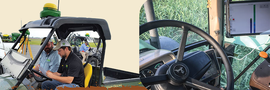
T3RRA Cutta is the world’s most advanced in-cab landforming system. In conjunction with John Deere’s iGrade it allows you to survey, design, optimise, and implement earth moving operations with ease.
Out of the box, T3RRA Cutta gives you more features and functionality than any competing system.


Support T3RRA Cutta is supported by the best service and support organization in agriculture - the John Deere dealer network. Benefits
- Minimal earth moved to achieve the same water movement outcome.
- Savings in fuel, equipment, labour and time.
- Improved drainage efficiency and irrigation opportunities.
- Improved water use efficiency
Surface drains in either direction
iDitch has all that's essential for designing and implementing your ditches. The most intuitive and intelligent ditching software you will find on the market today.
T3RRA Ditch has all you need for designing and implementing your ditches and levees

- Minimal earth moved to achieve the same water movement outcome.
- Savings in fuel, equipment, labour and time.
- Improved drainage efficiency and irrigation opportunities.
- Great for roads as well as drains.
- All surveyed data is compatible with other T3RRA products.
- T3RRA Ditch can be upgraded to our full landforming package (T3RRA Cutta) at any time for more features and functionality.
- Export guidance lines for automatic steering (John Deere AutoTrac™ required)
T3RRA Apply allows surveying and implementation of landforming operations. Create the project designs in the office and transfer them to T3RRA Apply for application only.
Features
- Full field and drain surveying capabilities
- Edit points in the field
- Drop markers at points of interest
- Full field leveling
- Drain project implementation
Benefits
- Works with T3RRA Cutta and T3RRA Design
- Fully integrated with John Deere iGrade and John Deere collected data
- Easy to use wizard operation
- Continuously updating progress maps
- 2D and 3D data views
- Blade height limits
iDitch has all that's essential for designing and implementing your ditches. The most intuitive and intelligent ditching software you will find on the market today. With everything on one screen and at your finger tips, you will be creating new and improving existing ditches in super fast time.
- Surveys drains in either direction
- Imports tci project files & SWP Ditch Tracks
- Linear & Best Fit Drain design tools
- Imports KMZ background images
- One screen operation
- Export the driven drain lines as guidance lines to Save to your hard drive or Upload to JDOC
- Enable Per pass cut and enter the depth to cut per pass.
- Choose the pass to cut using Up and Down arrows
- Edit drain line by selecting start point and end point
- Choose to trim points from the ends or bridge points
- Markers can be added during surveying or implementation
- As Applied tracking shows work in progress
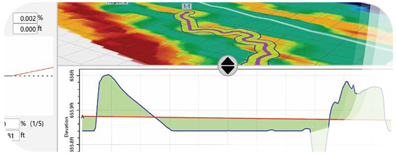
T3RRA Plane is for Best-fit full field designs & Linear drain designs with automated control operation providing surveying, designing, & on-screen cut/fill maps.
Features
- Full field and drain surveying capabilities
- Edit points in the field
- Drop markers at points of interest
- Create Best-fit full field designs
- Create Linear drain designs
- Separate fields into Regions
- Full field leveling
- Drain project implementation
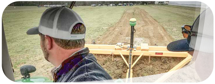
The first step in any landforming operation is a field or drain survey. Our easy-to-use package makes it simple to collect either full field or ditch and drain surveys. After surveying you can quickly transfer your projects to any other T3RRA software packages.
T3RRA Survey allows you to carry out surveys without tying up your existing earthmoving software and equipment.
- Perform both drain and field surveys
- Differently shaped points for drains and fields.
- Edit points in the field.
- Surveyed maps can be viewed in 2D and 3D.
- Create elevation surfaces that are design ready.
- Drop markers at points of interest.
- Saves both time and money.
- Works with John Deere and third-party RTK GPS.
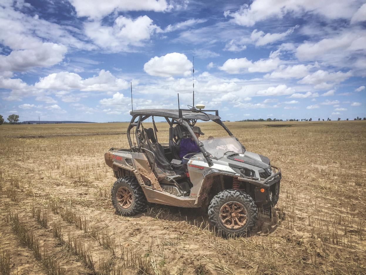
- Can be installed on any vehicle.
- If you know our other products, you know T3RRA Survey. Data can be easily imported to other T3RRA software.
- No data lock in.
- Export to generic file types
(+61)07 46332790
info@t3rra.com
(+1) 5018041415
gwen@t3rra.com
(+61) 0456824102
travis@t3rra.com
We want to hear from you.
Contact us any time.
Australia
Unit 4, 18 Rocla Court
Toowoomba, QLD, 4350
Australia
USA
P.O. Box 242372
Little Rock, AR 72223
USA