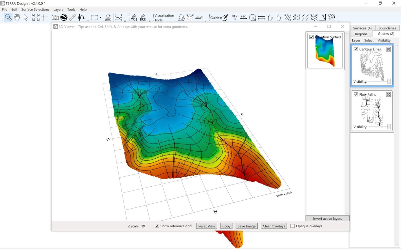
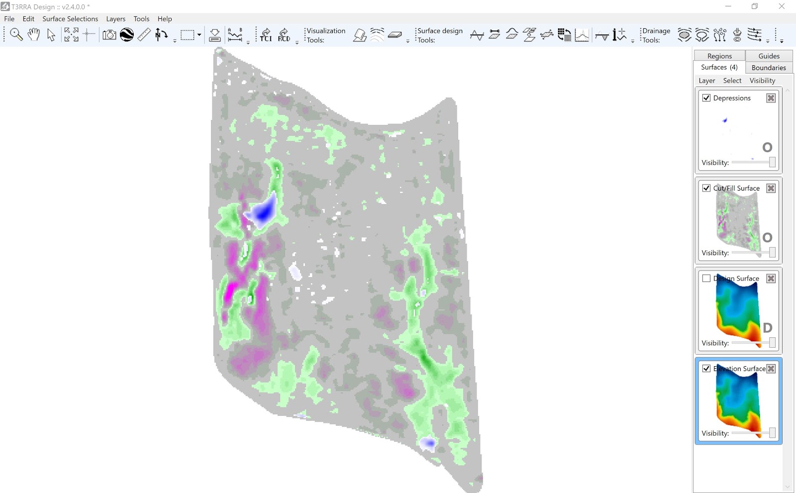
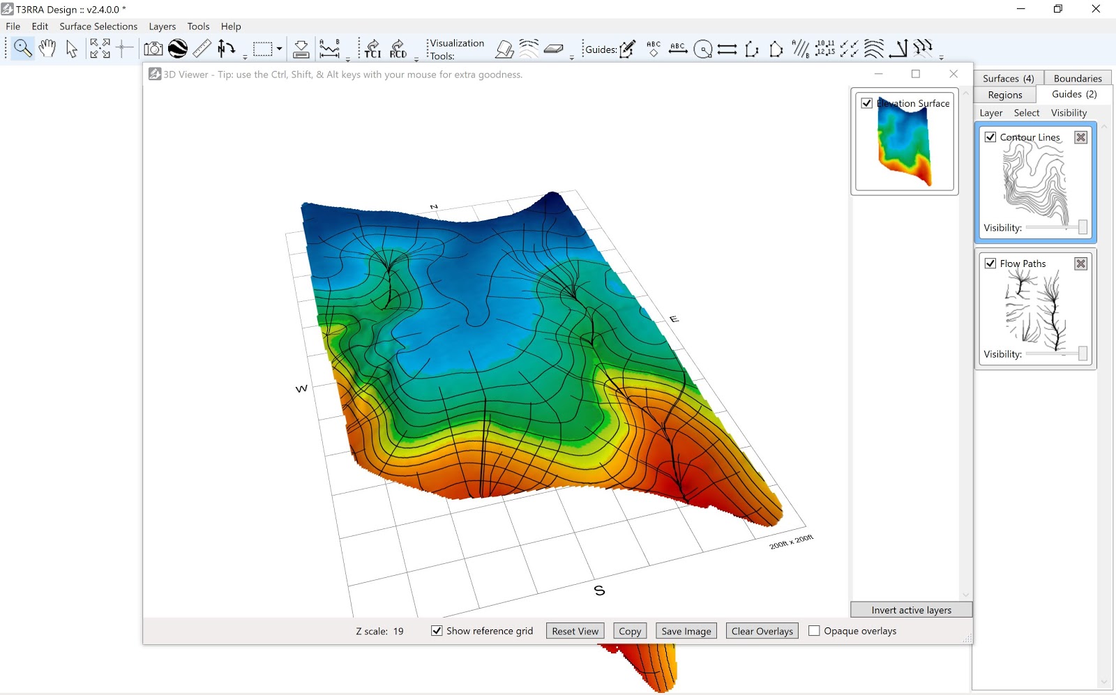
T3RRA Design has many exceptional analysis tools to assist users in making informed decisions for their land forming projects. Users are able to apply overlays to the surfaces such as depressions, flowpaths, cut/fill maps, contours, and flow directions. These overlays are created as tiles in the right panel of the screen.
To view the surfaces with overlays in the 3D window:
- Activate (check box) of surface tiles to view.
- Open 3D window.
- Hold down ‘Control’ and scroll mouse to exaggerate Z scale.
- Activate one surface and choose ‘Invert’ to compare.
- Drag overlays into window.
- Select ‘Clear Overlays’ to change overlay viewing.
To view the surfaces with overlays in the Rainfall simulator:
- Activate (check box) of surface tiles to view.
- Open Rainfall simulator window.
- Choose the surface to view from drop down.
- Choose ‘Show 3D map’ in the Rainfall simulator window.
- Hold down ‘Control’ and scroll mouse to exaggerate the Z scale.
- Drag overlays onto the Surface.
- Choose ‘Clear Overlays’ to change overlay viewing.


